Geographical Information Systems (GIS)
Mapping and spatial analysis
GIS is a fundamental aspect of the consultancy work undertaken by Footprint Ecology. It features in almost every project we undertake and is used in a wide range of contexts, from simple mapping within reports to stand-alone GIS projects of complex spatial analysis.
- Maps are a powerful form of communication. They provide an accessible and clear way to present features and data
Simple presentation
At its simplest, GIS is used to map features, species, vegetation and habitats (e.g. National Vegetation Classification maps). The maps produced allow examination of how features of interest occur in the landscape, and how their distribution may relate to other factors. We also use GIS to present information to a public audience in an attractive and accessible manner, for example in communicating proposed improvements on a site, or maps within leaflets to promote responsible visitor access.

Data presentation
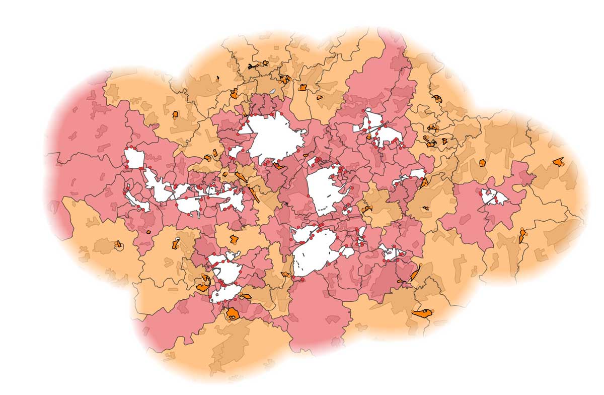
GIS is also useful for more complex data presentations. Data collected during surveys can be visualised in GIS to help conservation planning and strategies, including of species, sites or people. For example, we frequently produce maps of visitors’ postcodes to show where visitors to particular sites are coming from. An extra dimension can be added by including charts to show how areas differ in addition to how they relate geographically.

Spatial analysis
GIS can be a powerful tool for discrete analyses including spatial statistics and data modelling, for example:
- To compute route distances and travel times to sites to identify visitor catchments and estimate the likely effects of any changes
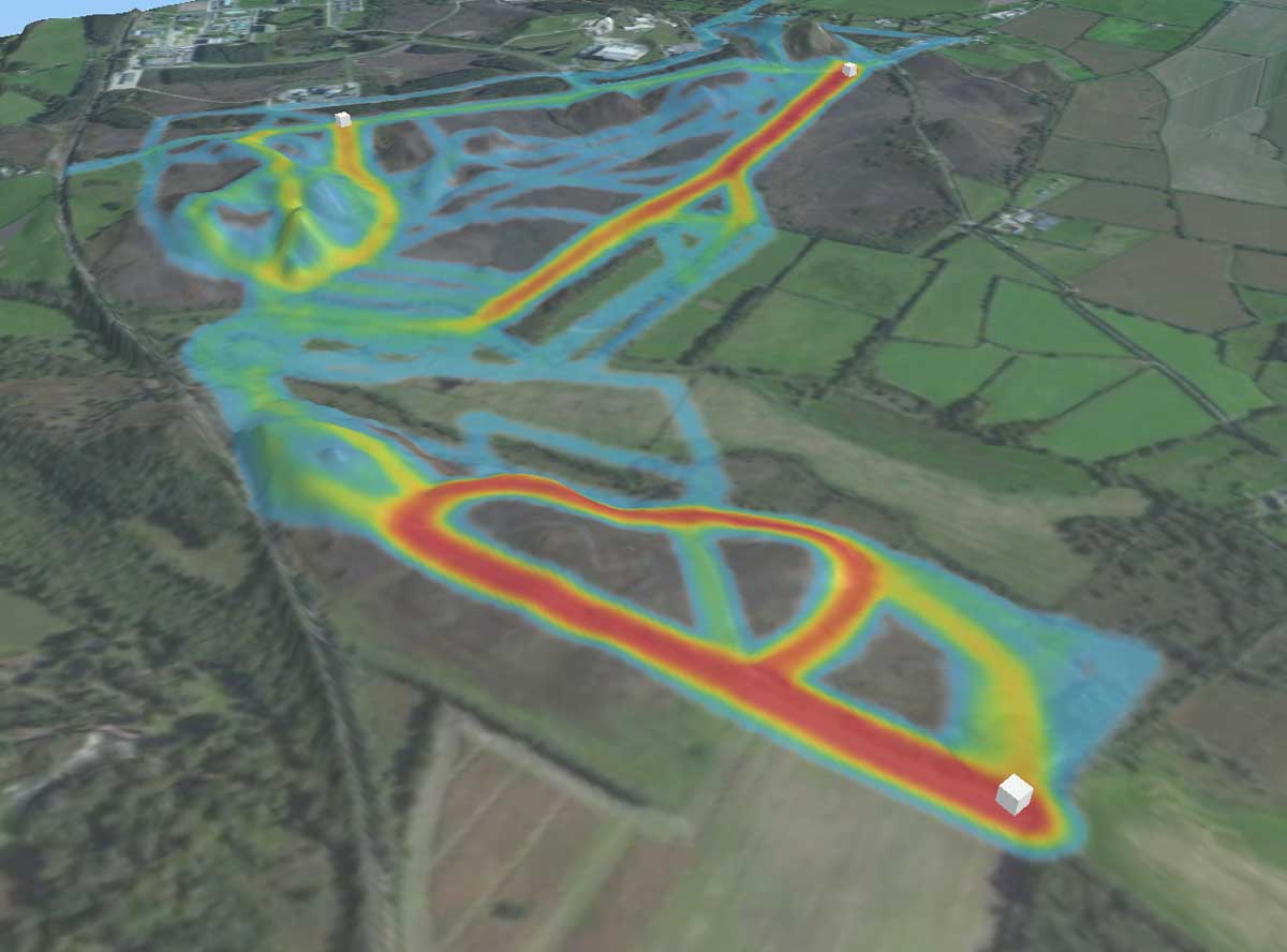
- To use a sample of data to predict the effects across a wider area, for example modelling how visitors distribute themselves across sites, and predicting the total numbers of visitors
GIS is also a powerful tool in monitoring and surveillance using remote sensed data, for example from satellites or drones. This is a rapidly progressing area of research with a wide range of applications such as characterising vegetation and assessing habitats.

Software and equipment
Staff at Footprint Ecology include highly capable GIS technicians familiar with a wide range of software, including ArcGIS and open-source software such QGIS - an increasingly popular choice for many organisations. We have a range of on-the-ground GPS equipment used by staff for mapping on sites and for members of the public to use as part of visitor surveys. Our staff use an extensive GIS data library, stored on a dedicated server.
Training
We can also run training courses in GIS software, and can accommodate requests for a training course in a particular area. For more details see Training.
Some examples
GIS is an integral part of the majority of our work as almost all projects include an element of mapping. Projects where GIS has been particularly important include:

Production of a leaflet illustrating walks in and around heathland at a location in the Pebblebed Heaths for Clinton Devon Estates
Analysis of the spatial distribution of areas of priority habitat informing the identification of potential areas for habitat restoration in Dorset
Analysis of the distribution of Stone Curlews in relation to building and roads in the Brecks for Breckland District Council
Mapping the distribution of interest features of SPAs along the coast of Essex for Natural England relating to the implementation of enhanced coastal access
Creation of GIS layers showing the vulnerability of habitats across Wales to impacts of recreation for Countryside Council of Wales/Cyfoeth Naturiol Cymru Natural Resources Wales
Contact us to discuss your project
We’re always ready to talk about your requirements, so please do get in touch today